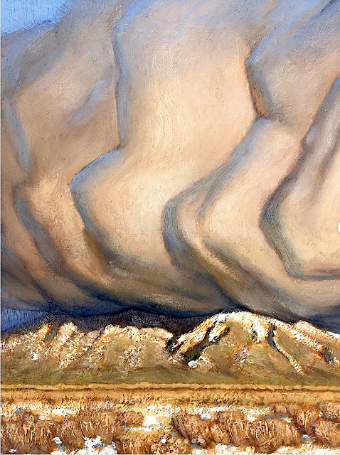
Picuris Mountains (2,967 m - 9,734 ft)
In Winer bloom, oil on silk, 14 x 11cm, Taos Studio Society.
The mountains
Picuris Mountains (2,967 m - 9,734 feet) is one of the Ridge in Taos County, nearby Osha Canyon and Vallecitos. Named Pikuria – those who paint – by Spanish colonizer Juan de Oñate, Picuris is located 24 miles (38 km) southeast of Taos in the Sangre de Cristo Mountains via N.M. 68, 518, and 75. Picuris, once the largest, today is one of the smallest Tiwa pueblos, with some 1,801 inhabitants (Census 2000). Like Taos, it was influenced by Plains Indian culture, particularly the Apaches
If one like biking, the ride takes you into the scenic and historic part of Picuris Mountains. About 2 miles from the start of this ride you will cross the historic Camino Real, or “Royal Highway,” that served as the original highway to Taos for traders, settlers, and Native Americans traveling north and south for several hundred years.
In late spring through fall this ride is free of snow and dry. It can be pretty beastly pushing up this mountain in the middle of summer. Plan on riding early or late in the day to avoid the heat.
_______________________________
2022 - Wandering Vertexes / Mountain paintings
By Francis Rousseau
No comments:
Post a Comment